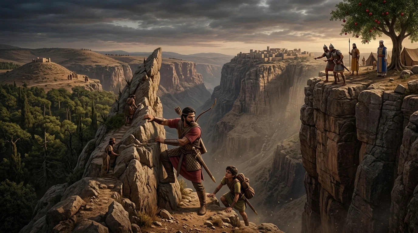
Jonathan & His Armor-bearer: The Strategic Pass of Michmash

Ancient warriors stand poised amidst the rugged, sun-drenched canyons of the Judean wilderness. The dramatic cliffs of Bozez and Seneh loom over the treacherous gorge where history and faith collide.
PromptPrompt
Create a 3D epic-cinematic live picture of this history to have a clear idea of the scene where these events took place, we add the most necessary details. Geba, the-post of the Philistines, lay on a low conical eminence, on the western end of a ridge which shelves eastwards towards the Jordan. Passing from Geba northwards and westwards we come to a steep descent, leading into what now is called the Wady-es-Suweinit. This, no doubt, represents the ancient “passage of Michmash” (1 Samuel 13:23). On the opposite steep brow, right over against Geba, lies Michmash, at a distance of barely three miles in a north-westerly direction. This Wady-es-Suweinit is also otherwise interesting. Running up in a north-westerly direction towards Bethel, the ridge on either side the wady juts out into two very steep rock-covered eminences—one south-west, towards Geba, the other northwest, towards Michmash. Side wadys, trending from north to south behind these two eminences, render them quite abrupt and isolated. These two peaks, or “teeth,” were respectively called Bozez, “the shining,” and Seneh, either “the tooth-like,” “the pointed,” or perhaps “the thorn,” afterwards the scene of Jonathan’s daring feat of arms (1 Samuel 14:1-13). Bethel itself lies on the ridge, which runs in a north-westerly direction from Michmash. From this brief sketch it will be seen that, small as Saul’s army was, the Philistine garrison in Geba was, to use a military term, completely enfiladed by it, since Saul with his two thousand men occupied Michmash and Mount Bethel to the north-east, north, and north-west, threatening their communications through the Wady-es-Suweinit with Philistia, while Jonathan with his thousand men lay at Gibeah to the south of Geba.
CharactersCharacters
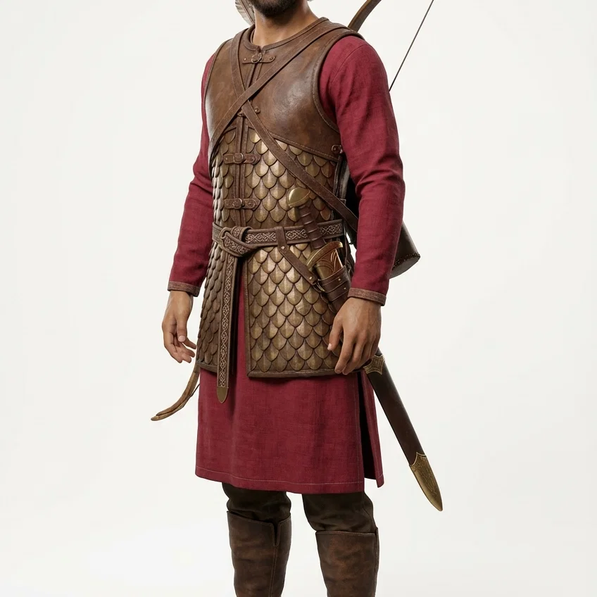 Jonathan